

The Global Impact of Geospatial Technology
In an era of unprecedented technological advancements, geospatial technology is a powerful tool with immense potential to shape our world. From aiding in sustainable development initiatives to bolstering disaster response capabilities, geospatial data and technology applications are vast and far-reaching.
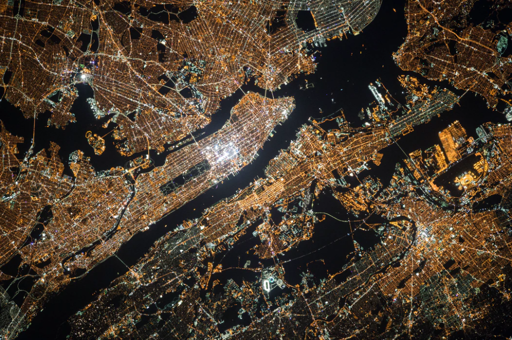
Explore the transformative impact this technology can have on global communities, particularly in developing regions and during natural disasters.
Resource Management and Planning
One of the fundamental benefits of geospatial technology lies in its ability to facilitate resource management and planning on a global scale. We can accurately map and monitor natural resources such as water, forests, and minerals by harnessing satellite imagery, geographic information systems (GIS), and remote sensing techniques.
This information is valuable for governments, organizations, and communities striving for sustainable resource management and land-use planning. For instance, mapping water sources enables us to identify regions vulnerable to drought and optimize water distribution strategies, ensuring equitable access to this essential resource.
Disaster Preparedness and Response
Geospatial technology is critical in enhancing disaster preparedness and response efforts worldwide. Using satellite imagery and GIS tools, we can swiftly assess the extent of damage caused by natural disasters such as wildfires, floods, and earthquakes; this enables emergency responders to identify vulnerable populations, plan evacuation routes, and coordinate relief efforts more effectively.
By leveraging geospatial data, we can improve early warning systems, predict the spread of hazards, and minimize the impact of disasters on communities around the globe.
Public Health Monitoring
Integrating geospatial technology into public health initiatives has revolutionized disease monitoring and control strategies. By mapping disease outbreaks and environmental health hazards, we can identify hotspots and allocate resources where they are most needed. GIS-based analysis facilitates the implementation of targeted interventions such as vaccination campaigns and vector control measures, thereby mitigating the spread of infectious diseases.
Geospatial data also plays a crucial role in tracking environmental factors that impact public health, such as air and water quality, enabling policymakers to enact evidence-based policies to safeguard community well-being.
Infrastructure Development
Geospatial technology catalyzes infrastructure development, supporting efforts to build resilient and sustainable communities. By providing valuable insights into site selection, transportation planning, and infrastructure monitoring, geospatial data enables policymakers and engineers to make informed decisions. Through precision mapping and analysis, we can optimize transportation networks, improve urban planning, and enhance access to essential services in underserved regions.
Geospatial technology also facilitates monitoring infrastructure projects, ensuring compliance with environmental regulations and minimizing their impact on local ecosystems.
Agricultural Productivity Enhancement
In agricultural communities worldwide, geospatial technology is revolutionizing farming practices and boosting productivity. By harnessing satellite imagery, GPS technology, and advanced analytics, farmers can optimize resource use, reduce input costs, and increase crop yields sustainably. Precision agriculture techniques enable farmers to monitor soil health, track crop performance, and respond to environmental conditions in real-time.
Additionally, Geospatial data supports initiatives such as land tenure mapping, crop insurance, and food security programs, empowering rural communities to thrive in an increasingly uncertain world.
Climate Change Mitigation and Adaptation
As the global community grapples with the impacts of climate change, geospatial technology emerges as a vital tool for mitigation and adaptation efforts. Through remote sensing and GIS analysis, we can monitor environmental changes, track deforestation, and assess the impact of climate change on ecosystems. Geospatial data informs climate risk assessments, vulnerability mapping, and the development of resilience strategies for communities at risk from sea-level rise, extreme weather events, and other climate-related hazards. By leveraging the power of geospatial technology, we can work towards a more sustainable and resilient future for generations to come.

Work With T-Kartor
You cannot overstate the potential of geospatial technology to transform global communities and disaster recovery efforts. By harnessing the power of satellite imagery, GIS, and remote sensing techniques, we can address some of humanity’s most pressing challenges, from sustainable resource management to climate change adaptation. As a geospatial company committed to positively impacting the world, we remain dedicated to harnessing the full potential of this technology to create a more equitable, resilient, and sustainable future for all.
At T-Kartor, our expert teams work on projects and development in defense, innovation, satellite imaging, and more. If you are interested in working with us or have any geospatial questions, contact us today!


