GIS for Good: Mapping Hope in a Changing World
Let’s be honest: the pace of today’s news cycle is ridiculous, and not in a charming way. You can’t even drink your morning coffee without getting smacked in the face by another crisis, another conflict, or some political circus designed to fry your last remaining brain cell. Scroll a little deeper and suddenly social media is feeding you a parade of end‑of‑the‑world nonsense: alien attacks supposedly being covered up, secret underground civilizations planning their comeback, and, of course, the 3I Atlas conspiracy crowd convinced fragmentation is a sign of impending galactic collapse. It’s nonstop, and it’s exhausting in a way caffeine can’t fix.
And still, buried in all that noise, there’s one quiet force that cuts through the chaos with more honesty than most headlines manage all year:
GIS.
Not glamorous. Not loud. And let’s be honest, half the world only remembers it exists when GIS Day rolls around and everyone suddenly becomes a born‑again cartographer for exactly 24 hours. But despite the annual parade of “Look, I made a map!” posts, GIS is absolutely essential. Because every time we need to understand what is actually happening in the world, GIS is the tool that gives us a fighting chance.
My colleague Brian Monheiser always says, “Every map, every dataset, every visualization tells a story of connection, courage, and community.” He’s right. Even if he’s annoyingly quotable.
Seeing the World So We Can Change It
GIS isn’t just technology. It’s context. People to places. Places to systems. Systems to outcomes.
Whether it’s a major metropolitan area moving millions through a transit network or a rural region struggling to survive drought and displacement, spatial data is what turns uncertainty into understanding. It turns overwhelm into clarity and guesswork into direction.
At its core, GIS is about seeing, and once you can see, you can finally do something.
Where Technology Meets Humanity
Today’s GIS tools, whether commercial or open-source, are doing the work that actually matters: supporting life-advancing, life-supporting, and life-saving missions around the world.
After my recent podcast conversation with Frank Romo (RomoGIS), I was reminded that GIS isn’t just data. It’s responsibility. It’s representation. It’s people. It puts humanity on record without filters, spin, or whatever today’s trending narrative pretends to be.
We don’t map because it’s cool tech. We map because GIS provides an unvarnished truth about the world as it is. What isn’t seen can’t be understood, and what isn’t understood never gets fixed. GIS forces us to deal with reality as it is, not as we wish it were.
Where GIS Makes a Difference
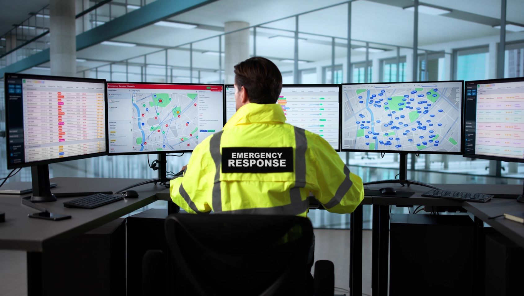
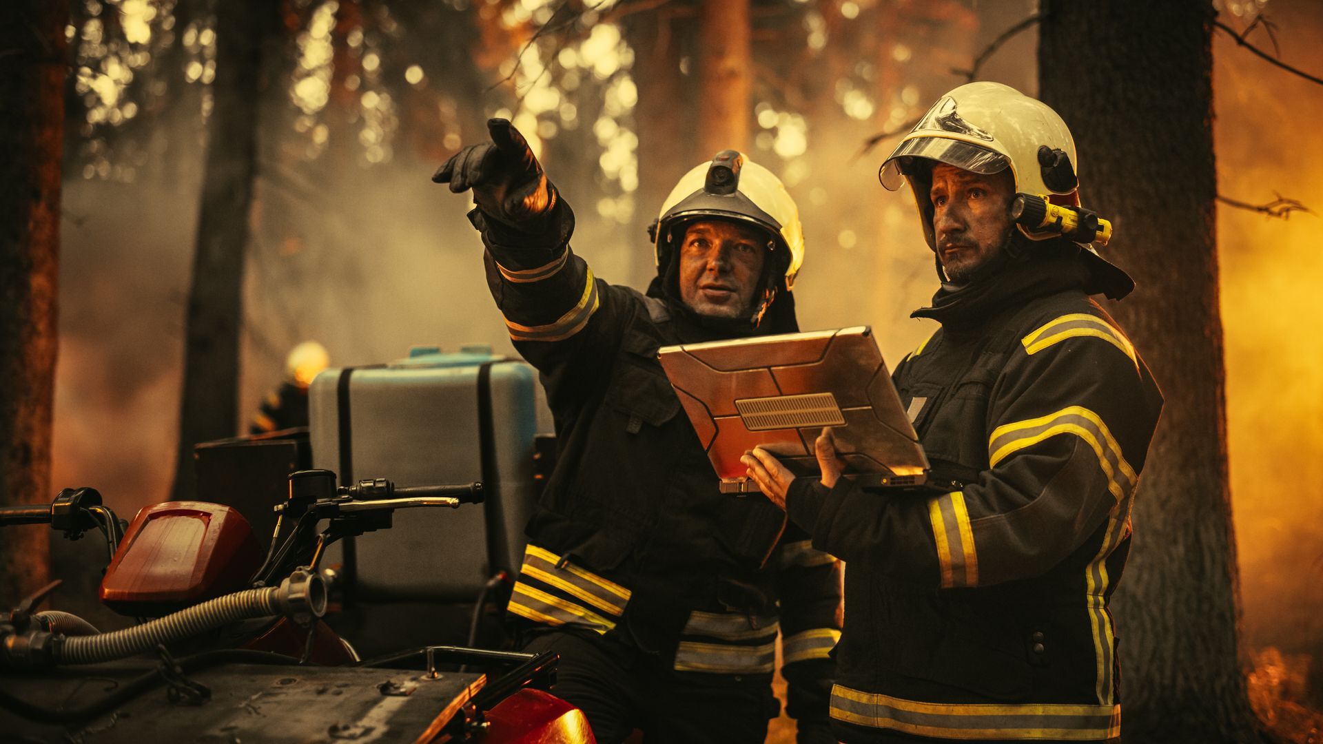
Disaster Response
After earthquakes, hurricanes, fires, or floods, GIS shows risk, safe zones, damage, access routes, and recovery efforts in near real-time. Programs like T-Kartor Iris®, Esri®’s Disaster Response Program, and HOTOSM turn mapping into something that saves lives.
Public Health
Pandemics. Outbreaks. Health inequities. GIS keeps track of what’s moving where, who’s at risk, and how fast decisions need to happen.
Food and Water Security
Farmers, scientists, planners, and policymakers rely on GIS to understand land use, drought, crop health, and shifting resources.
Climate and Conservation
Deforestation, migration paths, coastal risk. GIS is the lens that shows what’s happening before the damage becomes irreversible.
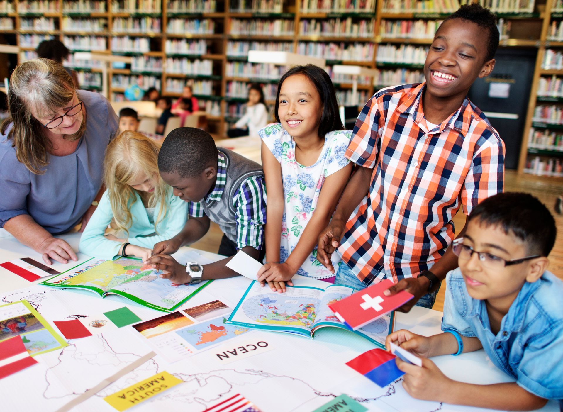
Community Empowerment
Tools like T-Kartor Iris®, StoryMaps, and open civic data platforms empower communities to tell their stories, make informed decisions, and build trust through shared visibility.
Open Data, Open Hearts
Some of the most meaningful GIS work isn’t driven by big budgets or massive institutions. It comes from open-source communities.
Projects like OpenStreetMap, MapAction, and countless local mapping collectives show what’s possible when volunteers around the world choose collaboration over apathy. Entire regions that were once unmapped now exist on the global stage because ordinary people decided their communities deserved to be visible.
When data opens up, opportunity does too. When maps are shared, voices get louder. When communities collaborate, lives change.
Why It Matters
Every point on a map is a person. A family. A responder. A traveler. A student. Someone who isn’t just a data point, but a real human dealing with real consequences.
GIS cuts through the noise and provides them with more than just a dot on a screen. It gives them presence, weight, and visibility that can’t be ignored. It forces leaders to face the truth, compelling them to make decisions grounded in reality rather than wishful thinking. It gives the world clarity when everything else feels like static and spin.
It’s humanity’s lens. Not just showing where things are, but why it all matters in the first place.
Looking Ahead
GIS Day isn’t about the software or the hype. It’s about the people who make it matter.
The analysts. The volunteers. The planners. The coders. The responders. The community builders. The dreamers.
From humanitarian mappers to defense analysts, public health experts to city planners, geospatial professionals everywhere use GIS to help us understand our world and shape a better one.
When we map with purpose, we don’t just chart terrain. We chart hope, healing, and human progress.
But here’s the part most people skip: GIS isn’t magic. It’s work. It’s grind. It’s thousands of people showing up every day to make sense of a world that refuses to sit still.
The headlines scream, the conspiracies spiral, the noise never stops, but GIS keeps pulling us back to what is real. What is happening? What needs fixing? It is the unfiltered baseline that the rest of the world often overlooks.
So even if the spotlight briefly hits us once a year, the impact isn’t annual. It’s daily. Quiet. Consistent. Relentless.
We keep showing up. We keep delivering clarity. We keep mapping the truth because someone has to.
And that consistency? That’s the part that actually moves the world forward.