Riding the Rails and Rethinking Our Geospatial Mess
Yesterday I made the questionable life choice of taking a train from DC to NYC. It’s been a while since I’ve done the whole American-rail experience, and apparently, I forgot that here in the States, train travel feels less like gliding through Europe and more like hitching a ride in the back of a semi truck driven by someone trying to make their delivery window before the sun explodes.
About 45 minutes in, I realized I should’ve popped a Dramamine. I’ve had smoother rides on those sketchy airport shuttles that feel like they were engineered during a smoke break behind the terminal. The cabin rattled, the tracks complained, and I suddenly understood why half the EU rolls their eyes at us. They get sleek, quiet, efficient trains. We get nostalgia for covered wagons.
And honestly, the whole thing reminded me of something painfully familiar: bad geospatial data.

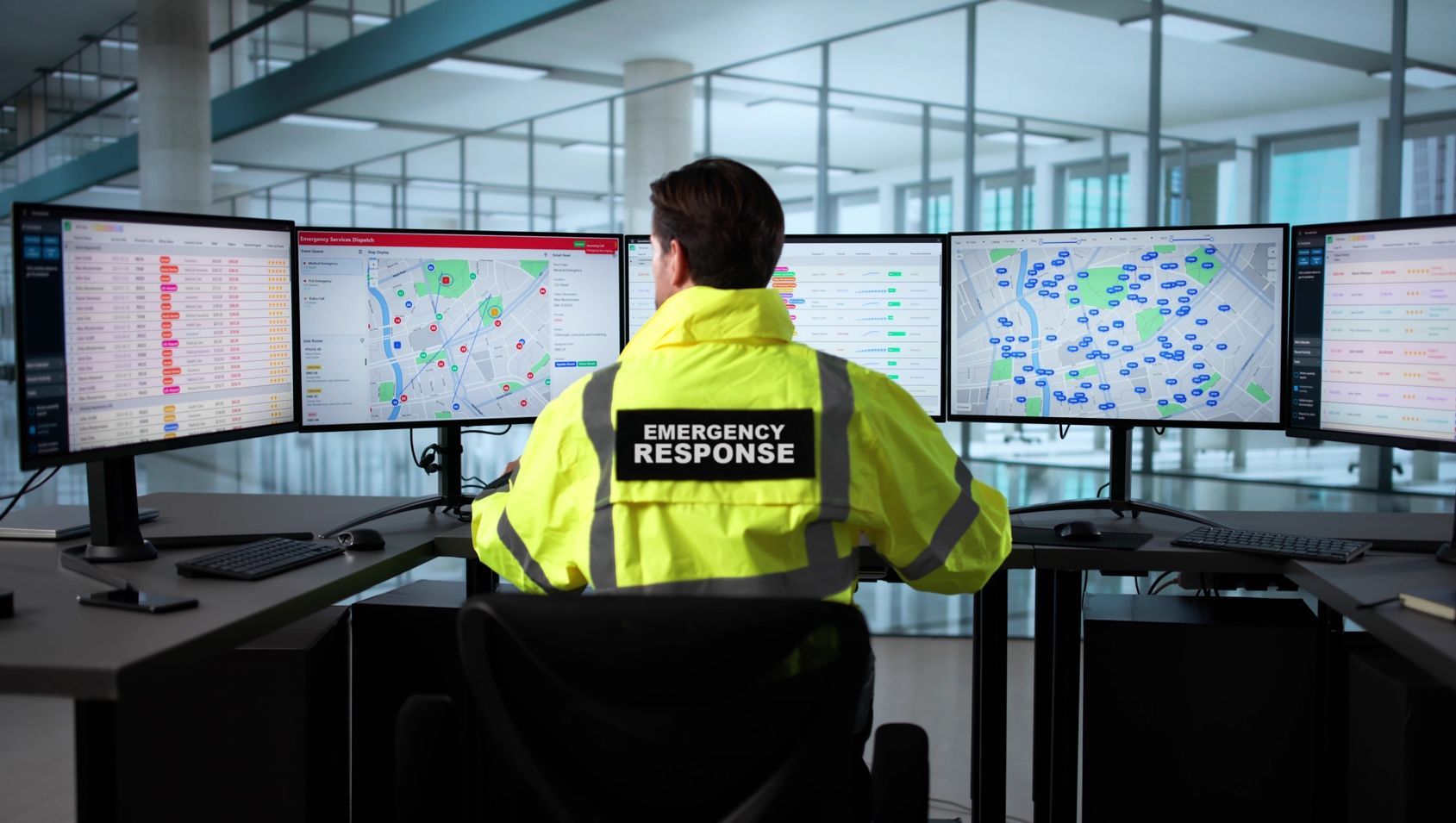
Because this is exactly what lousy source data feels like to an analyst. A shaky, jarring, borderline headache-inducing mess you’re forced to ride out because someone, somewhere, made a decision based on efficiency that absolutely wasn’t.
Those of us who cut our teeth 20 years ago remember when geospatial analysis was fun. An art form, even. You had room to be creative, to shape something meaningful out of messy inputs. You were a cartographer, a detective, and the person who kept the mission glued together with context no one else could see.
Today’s analysts? They’re handed a dumpster fire of source data and told to “do the minimum to meet requirements” because the budget is basically lunch money, the kind of budget where an entire AFD product might be valued at less than what I’d pay two men for four hours of landscaping in STL. And thanks to federal contracting contortions like LPTA, dressed up as BVTO cosplay, everyone pretends we’re investing in quality while actually racing to the bottom, as if it were a sport.


And yet we still expect analysts to perform miracles. Or worse, we expect AI/ML to fix everything as if training algorithms on subpar data will magically produce anything other than a statistically elegant hallucination. Spoiler alert: garbage in still equals garbage out, even when you add a transformer architecture.
But before you start typing your resignation letter or pouring a drink way too early in the day, there is hope. Because, despite the chaos, there are still brilliant people out there pushing boundaries, breaking rules, and pushing forward with both hands. And you know where they gather?
Geography 2050.
It’s the closest thing our community has to an underground society of geospatial greatness. On the surface, it appears to be a typical conference: coffee that tastes like disappointment, and panelists going through the usual slide shuffle. But the good stuff happens in the hallways. The after-hours conversations. The whispered confessions of people who actually build things, actually solve problems, and actually say out loud what everyone else is thinking.

That’s where you meet the ones who care about the future of this field. The ones who still see the potential. Those trying to ensure that the next generation of analysts experiences more than triage work, bad source data, and whatever budgetary fever dreams LPTA and BVTO have in store for us.
So yeah. The train ride was rough. The data world is rougher. But the people? There’s still gold in this community. You just have to know where to look.
And apparently, one of those places is a hotel hallway in New York in late November.