
Visualize a World Of Geospatial Innovation
At T-Kartor, we strive to highlight the best and brightest minds in the rapidly evolving world of Geospatial.
We host in-depth conversations and highlight our products and services through engaging and informative videos, podcasts, resource sheets, and articles.
On this page, you can find any resource, all in one place.
Simply click one of the choices below to find exactly what you need!
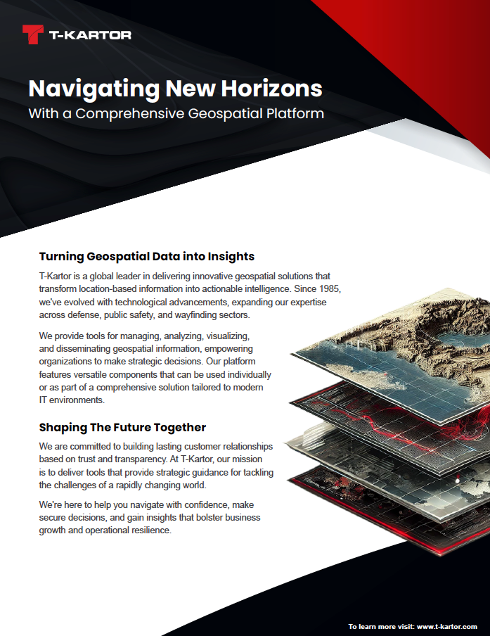
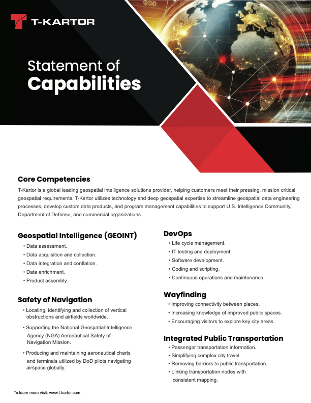
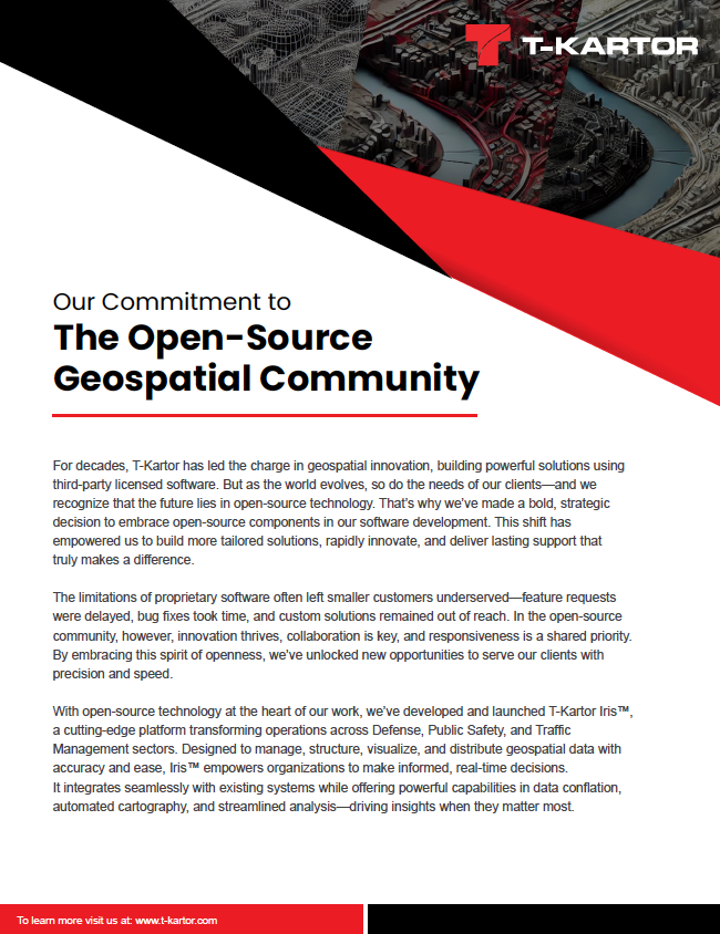
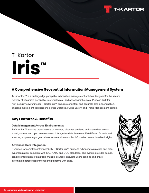
Resource Sheets
Videos & Podcasts
Discover Your World
Offering a unique combination of innovative technology, customization capabilities, and a global perspective. Our expertise in handling complex geographic data and our ability to provide tailored solutions make us a preferred choice for those seeking reliable and efficient mapping services.
Navigating The Future Podcast
Blogs | Press Releases


Develop Valuable Skills
Check out our new children's book, written and illustrated by our own Sydney Bailey!
Join Sammy on her nighttime journey home from the forest! Along the way, she'll make incredible new friends in Iris, Odin, Wilma, and Orion, as they teach her valuable wayfinding skills, such as how to read a map, identify landmarks, and utilize a directional compass!
This charming story is the perfect platform to introduce young ones to geography and wayfinding, as they engage with adorable characters and stunning scenery!

The Wayfinding Journey

Guiding Every Step Forward
We see wayfinding as a journey that begins with understanding how people move through a space and where they need support.
By collaborating with communities and stakeholders, we design solutions that feel authentic and highlight both major attractions and hidden gems.
Through a combination of signage, maps, and digital tools, we create systems that are visually appealing, intuitive, and adaptable—helping visitors explore confidently, connect with places, and return again.
Iris Interconnected
One Platform. Total Clarity.
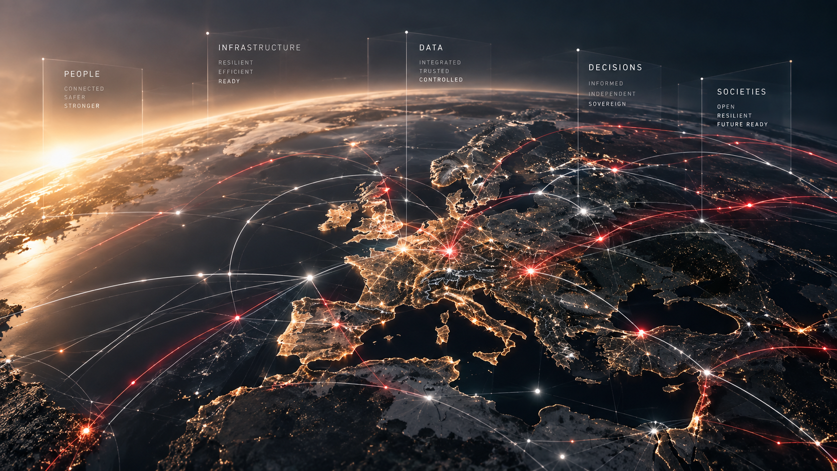
Iris is the central hub of T‑Kartor's geospatial ecosystem, bringing together all data, workflows, and insights in a single, unified space.
It serves as a single, authoritative source for integrating, maintaining, and sharing spatial and non-spatial data across teams and systems.
By connecting everything through one trusted platform, Iris ensures consistency, reduces duplication, and supports confident, coordinated decision‑making at scale.