Frontlines Remade: Why Tactical METOC Matters More Than Ever
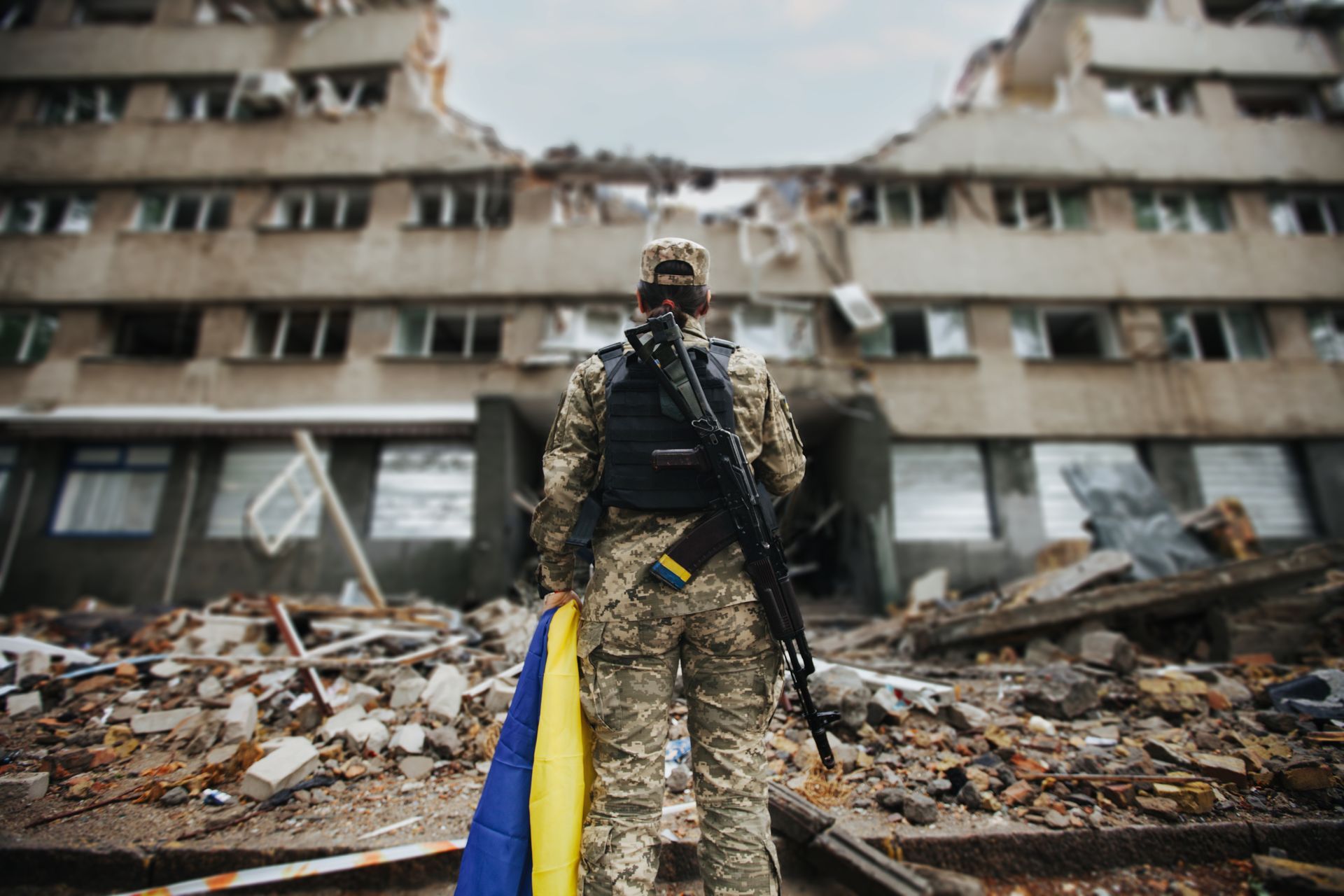
The nature of frontline warfare has shifted dramatically during the full-scale invasion of Ukraine, and when I think about the modern frontline, it's striking how much it has changed in just a few years. What used to be a clearly defined line on a map has transformed into something far more complex: a layered, constantly observed operational environment where weather and local conditions can dictate whether an action succeeds or fails, and whether people live or die.
Frontlines today aren't single, static lines. They're made up of belts and zones where presence, exposure, and risk overlap in unpredictable ways. Burned tree lines, ruined settlements, and scattered wreckage reshape how people see, move, and survive.
Behind these belts lies an extended "grey zone" where persistent aerial observation and intermittent fires shape daily life. Defensive positions are dispersed and hidden, urban ruins, cellars, improvised shelters all creating countless small pockets where situational awareness is critical.
Living and Moving Under Constant Watch
Battlefields today are saturated with aerial sensors. Daylight movement is often too risky; resupply happens during narrow, low-visibility windows. Logistics are strained. Personnel wait long hours for rotations that depend on fleeting opportunities, and not just tactical timing, but weather conditions down to the hour.
And it's not just the physical terrain. The sky itself has become an operational domain. A continuous, layered picture created by unmanned systems and small sensors watching several kilometers deep. Add in constant electronic warfare and contested communications, and the environment becomes even more fragile and complex.
Why Weather Is More Tactical Than Ever
Weather has always been a factor in military operations, shaping visibility, mobility, and the tempo of war for centuries. What's changed is the precision, speed, and scale at which local conditions now influence modern operations.
In today's layered, sensor-saturated battlefields, weather isn't background information; it's a tactical force multiplier. Micro-scale meteorological and oceanographic (METOC) data directly shape:
- Visibility windows for safe movement and resupply
- Sensor performance across optical, infrared, and radar
- Rotary-wing, VTOL, and UAV operations
- Communications and EW propagation
- Human endurance and equipment reliability in harsh conditions
When the difference between moving or waiting, engaging or holding, is measured in hours - or even tens of minutes - having accurate, localized METOC at the unit level becomes survival-critical.
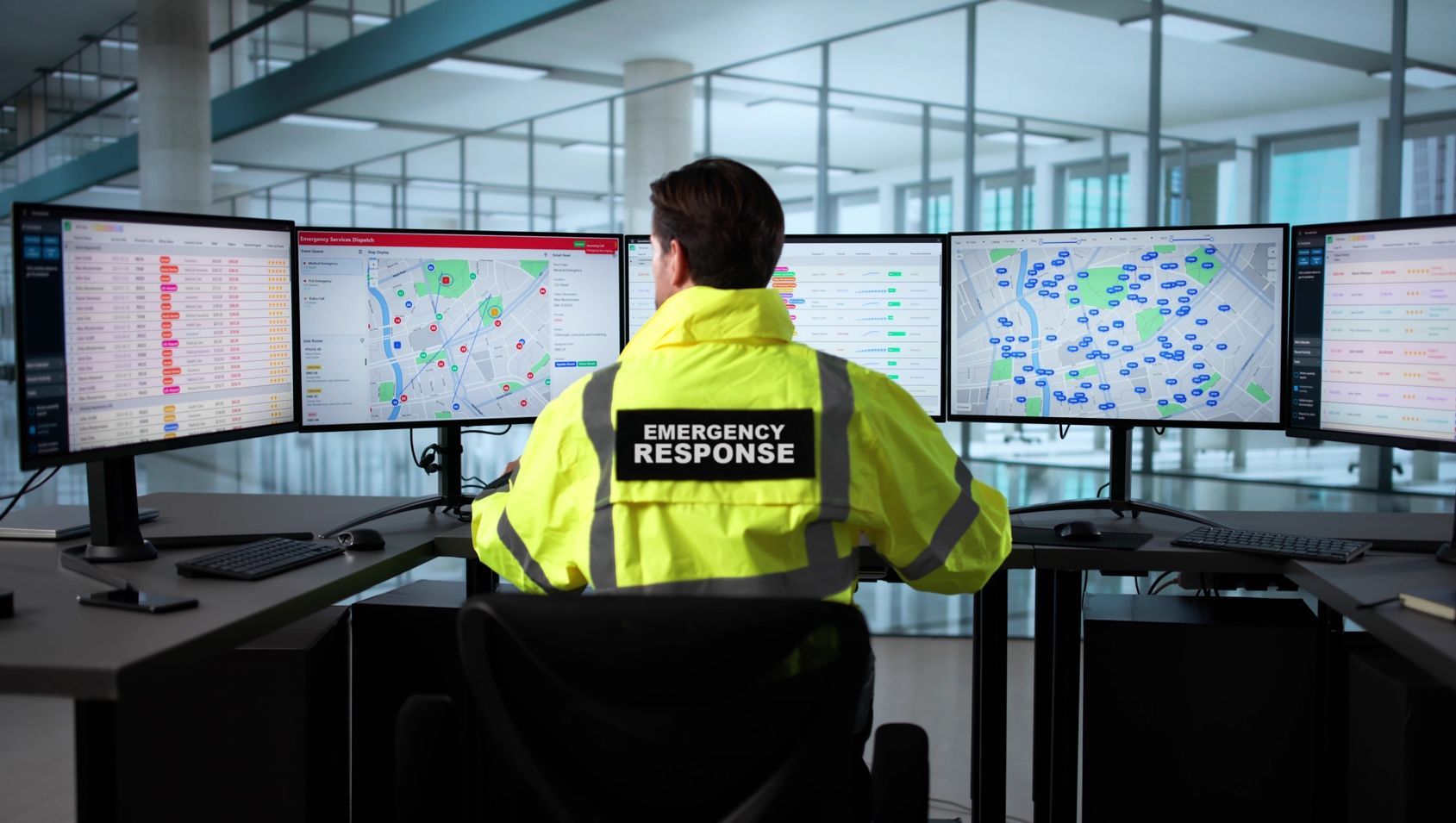
How Iris METOC Brings Weather into the Fight
That's precisely why we built T-Kartor Iris METOC: to give leadership, logisticians, and humanitarian actors localized, near-real-time environmental intelligence at the tactical edge.
We combine high-resolution forecasts tuned to microclimates with sensor data from UAVs and weather stations to refine short-term predictions. More importantly, we translate all of that into mission-oriented indicators, visibility corridors, sensor performance windows, and safe transit periods and layer them right onto the operational map.
And because frontlines rarely have perfect connectivity, Iris METOC is designed to run in constrained networks and still deliver critical insights even when bandwidth is limited.
Beyond Operations: The Human Impact
It's not just about tactical advantage. Better weather intelligence reduces unnecessary risk to civilians and responders, improving humanitarian routing, evacuation planning, and the timing of movements that protect and save lives.
Weather Has Never Been a Footnote
Throughout history, weather has shaped the outcome of battles. But in today's operational reality, it's no longer a backdrop; it's a decisive factor woven into every decision. Every movement, every rotation, every action is influenced by local conditions that can shift in minutes.
Systems like T-Kartor Iris METOC bring atmospheric science to the tactical edge, turning raw data into actionable, human-centered intelligence. They give leadership, logisticians, and humanitarian actors the clarity to act faster, safer, and smarter when every minute and every meter matters.
This isn't about predicting the weather. It's about owning the operational advantage it creates.
If you're interested in seeing how localized METOC can reshape planning, reduce risk, and save lives in contested or complex environments, let's connect. I'd be glad to walk through a real-world scenario.