

Guiding Every Journey: The Story Behind London’s Wayfinding
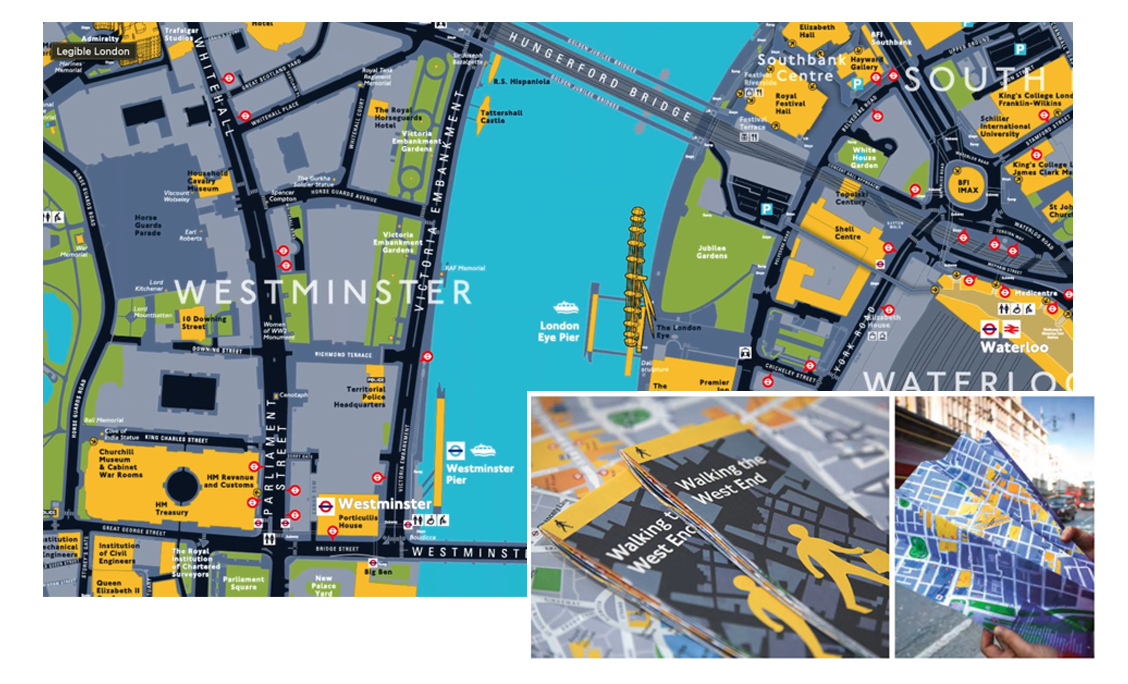
When you think of London, certain icons come to mind: the Underground map, the double-decker red buses, the rhythm of a world-class city in motion. But behind that rhythm is a quiet, powerful system helping millions of people find their way every day. Legible London, the city's pedestrian wayfinding network.
We're proud to say that for more than two decades, T-Kartor has been at the heart of it.
From the first Legible London signs to the thousands of maps across bus shelters, bike stations, and Tube exits, T-Kartor has worked alongside Transport for London (TfL) to make one of the busiest, most complex cities on Earth feel navigable, human, and connected.
In February 2024, TfL once again trusted us with a new contract to continue that work.
Why It Matters
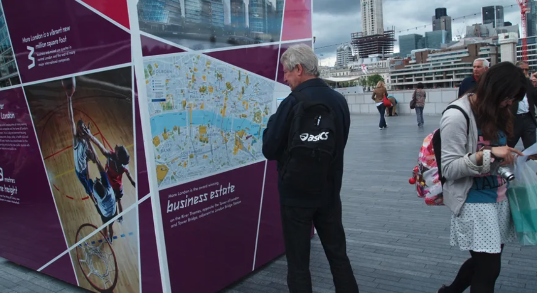
Wayfinding isn't just about maps. It's about shaping experience. Creating confidence, promoting exploration, and supporting a shift toward sustainable, multimodal transportation. When people know where they are and where they're going, they walk more, connect more, and engage more fully with the amenities, attractions, and businesses around them.
London understood that. They made it a priority to reduce private vehicle use, improve air quality, and create a city where the pedestrian comes first. Our role was to help build the tools to make that possible.
The Results
Over the years, we've delivered:
- 2,000+ pedestrian signs
- 800+ Cycle Hire docking maps
- 800+ transit posters
- 250+ “spider maps" for bus services
- 6,000+ directional panels
- Countless pop-up and event-based maps, including for the 2012 Olympics
Behind each of those solutions is a powerful cartographic database and a production system that updates, adapts, and scales with the city's needs. These aren't just signs, they're part of a living system that adapts to the city's pace, changes, and needs.
What Changed Because of It
The numbers speak for themselves:
- 65% reduction in pedestrians getting lost
- 87% support from users for the rollout
- 22% increase in satisfaction with city navigation
- A lasting shift in how one of the world's leading cities communicates space to the public
Legible London has become part of the city's visual identity, alongside the Tube map and the double-decker bus. We're honored that our work helped shape that.
Why T-Kartor
This success is grounded in great design, elevated by a data-driven production system, GIS integration, and tools that enable fast, accurate map creation at scale. Our approach delivers quality, consistency, and responsiveness, and TfL recognized that.
They chose T-Kartor because we deliver. We deliver under pressure, across thousands of assets, and ahead of the biggest events on the global stage.
What Comes Next
The work in London isn't finished, and neither is our mission. This partnership has opened doors to cities around the world that want to follow London's lead, building walkable, multimodal places where people don't just pass through but truly belong.
Our message is simple:
Your places and spaces. Their experience. Our expertise.
That's wayfinding done right!


