Why Choose a Career In GIS?
When you think about how GIS is utilized across several industries, it’s easy to understand the opportunities offered by pursuing a career in the industry. The demand for GIS and geospatial skills is only set to grow exponentially – find out if a career in GIS is for you.
The Math Behind the Growing Market
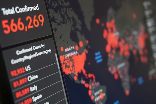
Studies show that “the industry is projected to generate $24,607.7 million revenue in 2030, advancing at a CAGR of 11.6% during the forecast period (2020–2030).” Simply put, these numbers are getting bigger post-COVID, as so many GIS tools were created and used to track the pandemic and its effects.
Other significant trends are creating the need for more GIS professionals: Self-driving cars, smart home technology, and drones depend on innovative GIS technology, and these individual markets will significantly contribute to growth. The rise in open-source data breaks open gates and silos to level the playing field for everyone, despite limitations on financial resources.
Businesses are also increasingly using geospatial data in conjunction with machine learning and artificial intelligence in several applications – especially in making important and strategic business decisions. GIS will continue to be utilized across several processes.

GIS Across the Industries
Transit and transportation systems in metropolitan cities all over the country use geospatial intelligence systems and technology to monitor the condition and progress of thousands of miles of underground and above-ground subway tracks. Utility companies also use geospatial technology and mapping to improve infrastructure and optimize location-based projects.
Government organizations and municipalities use geospatial technology in several ways. Detailed mapping information of cities and communities prioritizes improvement projects and keeps community members safe. The military has relied on special technology for decades to protect the country and its assets.
The point? There are jobs in nearly every industry that require GIS skills, so there’s bound to be a role that fits your interests and personality. Whether you want to be in the great outdoors or warmed by the glow of a computer screen, you’ll easily find where you belong.
Making an Impact
GIS has become the foundation of smart city initiatives and can provide location-specific information hyper granular and contextualized. These systems offer a visual way to convey complex data to those involved in the planning process at all levels of technical knowledge and allow emergency response managers to predict and track elements like extreme weather and natural disasters.
Government officials also use GIS technology for health and human service initiatives, land administration, and tax assessment and create citizen-accessible tools that allow easy viewing and analyzing of mapped-out government geospatial data. IT experts use GIS tools to encrypt and secure highly sensitive, back-end data needed for classified discussions.

Putting your GIS skills to use means you’ll have the chance to help make life better for your community. If you want to make an impact, you can solve public and social challenges using geospatial expertise.
Whether you’re just starting your GIS career or looking to make a change to find the perfect job, get in touch with our team. We are committed to providing services and platforms for geospatial solutions, specializing in city wayfinding, defense mapping, and integrated public transportation information. We can help you find a position that builds on-the-job knowledge while encouraging soft skill growth. Contact us today to learn more!


