Which Industries Should Consider Adding More Geospatial Technology to Their Workflows?
In today's data-driven world, knowing where something happens is often just as important as knowing what is happening.
That's where geospatial technology comes in. By analyzing the spatial aspects of data—location, proximity, movement, and patterns—organizations can uncover insights that lead to better decisions, more efficient operations, and new opportunities.
Geospatial technology includes tools like Geographic Information Systems (GIS), GPS tracking, remote sensing, and spatial analysis software. While it's already a mainstay in fields like transportation and urban planning, many industries are just beginning to tap into its full potential.
Below, we explore seven sectors that stand to benefit from adopting or expanding their use of geospatial tools.
Hospitality
The hospitality industry thrives on delivering exceptional guest experiences, and geospatial technology can elevate those experiences in several ways.
Hotels and resorts can use location-based services to personalize offers and recommendations based on guest movements or preferences. For example, resorts can analyze guest flow to optimize the placement of amenities and improve signage.
Additionally, geospatial analysis can assist in choosing new hotel locations by assessing foot traffic, nearby attractions, and demographic data. For destinations in disaster-prone areas, GIS helps with risk mapping and emergency planning, ensuring guests' safety and business continuity.
Construction and Logistics
In construction and logistics, precision and timing are everything.
Geospatial technology enables real-time tracking of vehicles, materials, and personnel, improving coordination across job sites. Construction managers can use drones and satellite imagery to monitor site progress and document changes.
Before a single brick is laid, GIS tools assist with terrain analysis, environmental impact studies, and zoning compliance.
For logistics operations, route optimization powered by geospatial data reduces fuel costs and delivery times while increasing customer satisfaction.

Medical and Healthcare
Geospatial tools are transforming how healthcare providers assess and respond to community needs. GIS can track disease outbreaks, identify at-risk populations, and allocate resources effectively during public health emergencies.
Hospitals and emergency responders use geospatial analysis to optimize ambulance routes and response times. It also supports long-term planning, helping health systems decide where to open new clinics or expand existing services based on population trends and accessibility data.
Retail
Retailers are increasingly relying on location intelligence to make smarter business decisions. Whether it's deciding where to open a new store or how to optimize marketing campaigns, geospatial data plays a crucial role.
Retailers can analyze customer demographics, foot traffic, and competitor locations to find prime real estate. Inside stores, geospatial data can help with layout optimization and in-store analytics.
For e-commerce and omnichannel operations, spatial analysis supports last-mile delivery planning and inventory distribution.
Food Service
From fast-casual franchises to high-end restaurants, the food service industry is leveraging geospatial tools to serve customers more efficiently. Location analysis helps determine where to open new locations based on population density, competition, and consumer behavior.
Route optimization tools reduce delivery times and ensure food safety for food delivery services, especially when managing temperature-sensitive orders.
Supply chain management also benefits from GPS tracking, which ensures that ingredients are delivered on time and in compliance with food safety standards.
Education
Educational institutions can use geospatial tools in both operational and academic contexts. School districts often use GIS to design efficient bus routes, ensuring student safety and reducing transportation costs.
Spatial analysis also helps plan new schools or adjust district boundaries based on enrollment projections and demographic shifts.
GIS is becoming a valuable teaching tool in the classroom. Students learn to interpret maps, analyze environmental issues, and understand complex spatial relationships, preparing them for careers in a data-rich world.

Real Estate
Few industries face a greater influence from location than real estate.
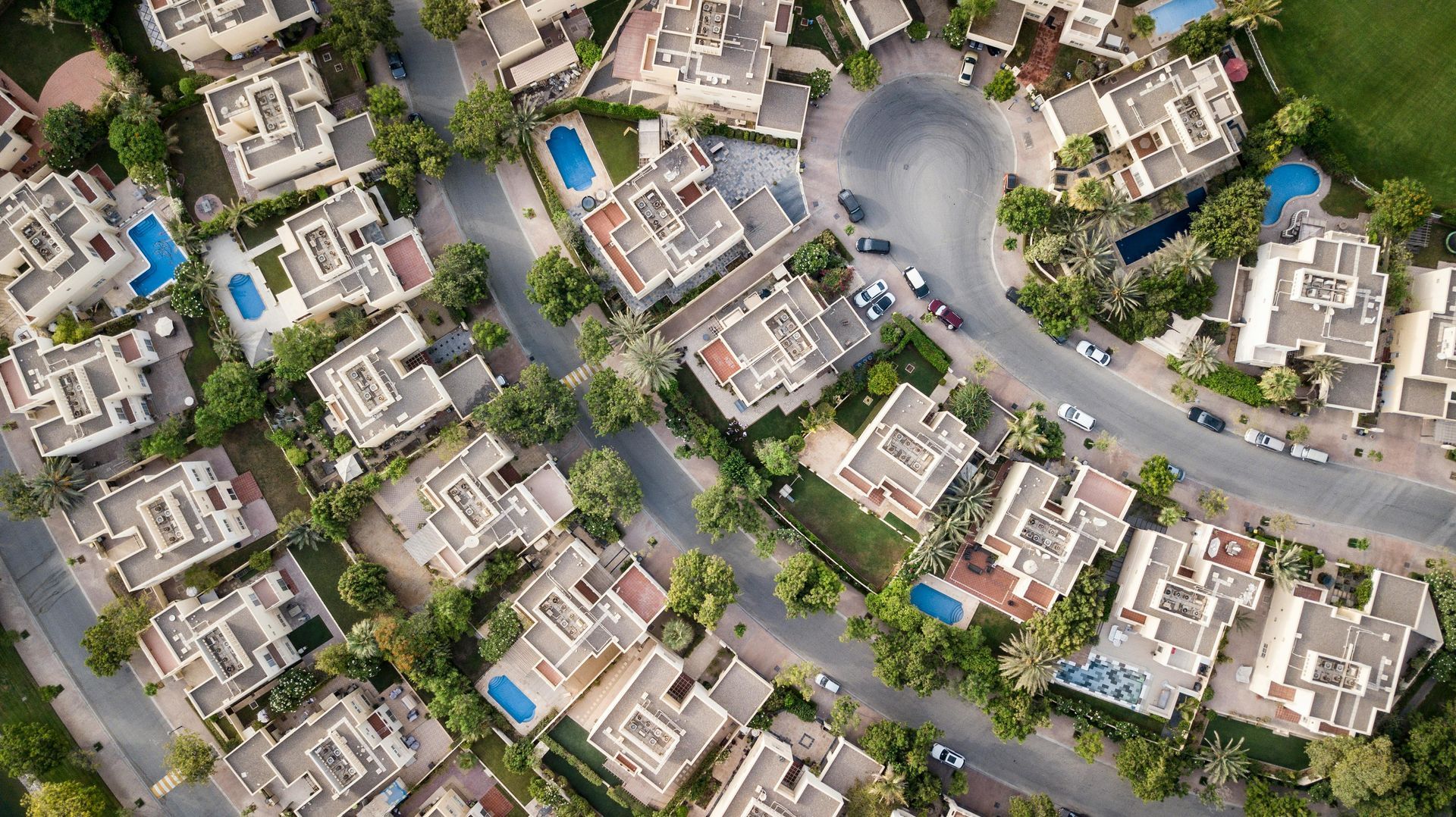
Geospatial technology empowers real estate professionals with data on property values, neighborhood trends, and environmental risks. Whether a developer is looking for the next hot area or a buyer is comparing listings, spatial data helps make more informed decisions.
Interactive maps allow potential buyers or tenants to visualize a property in the context of nearby schools, transportation hubs, and amenities. Predictive models can even forecast future land use changes, helping investors stay ahead of the market.
Collaborate With T-Kartor
Geospatial technology is no longer just for scientists and surveyors—it's a powerful business tool that can benefit almost every industry.
From improving customer experiences to optimizing operations and planning for the future, spatial data unlocks new insights that static data cannot.
At T-Kartor, our expert teams work on projects and development in defense, innovation, satellite imaging, and more. If you are interested in working with us or have any geospatial questions,
contact us today!


