

GIS vs. Geospatial: What’s the Difference?
It’s common to see the terms “GIS” and “geospatial” be used interchangeably, but if you’re polishing your resume or writing a job description, it’s crucial to understand how the two are vastly different.
What is GIS?
Although GIS stands for geographic information systems, the definition isn’t as clear-cut as its name implies. The best and most straightforward way to define it is as a system that combines data with geographical features, but that doesn’t nearly begin to cover everything.
The foundation of GIS is the geographical (spatial) data, which somehow references locations (mostly on Earth, but depending on the context it could also be locations like the moon.) This is combined with other attribute data points that offer more information about the location: Take a business, for example. The location of the business is the spatial data, while information like the name of the business, services offered, and the number of employees would be attributed data.
At its most basic use, GIS tech is used for making maps of geographical areas, storing information, and layering it to give users a wide-angle view. At a more complex level, this technology can provide answers to a range of questions posed and discovered using geographical and attribute data: How many competing businesses are within one mile of the town’s center? What is the walkability from certain neighborhoods to a business? How accessible is the business from the highway?

GIS has become the foundation of smart city initiatives and can provide location-specific information in a hypergranular and contextualized way. These systems offer a visual way to convey complex data to those involved in the planning process at all levels of technical knowledge and allow emergency response managers to predict and track elements like extreme weather and natural disasters.
GIS can be used for several specific applications that help support a wide range of industries:
“Geospatial data can be analyzed to determine (1) the location of features and relationships to other features, (2) where the most and/or least of some feature exists, (3) the density of features in a given space, (4) what is happening inside an area of interest (AOI), (5) what is happening nearby some feature or phenomenon, and (6) and how a specific area has changed over time and in what way.”
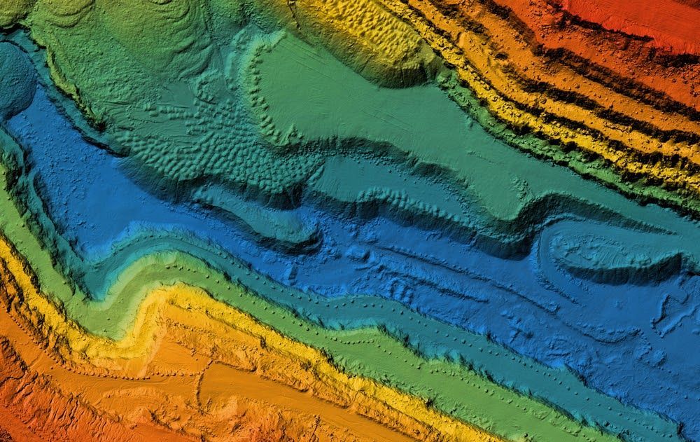
What is geospatial?
Think of geospatial as a wheel, with one of the spokes being GIS. Geospatial is the overarching term for all data that relates to and conveyed on a map and can be visualized in two ways. Vector data applies geometric shapes for location and the outline of geographic features like cities, roads, and waterways are represented by points and lines. Raster data uses scanned digital or aerial and satellite images and leverages stair-stepping to report data as pixels or grids over an image. Examples of geospatial technology include GIS, GPS, remote sensing, and beacon technology.
Although geospatial data debuted to a mass audience in 2005 with the launch of Google Maps, the concept was formed as early as 1832 during a cholera outbreak in Paris. French cartographer Charles Picquet created a heatmap to track the spread of illness, and in 1854, cholera hit London and physician John Snow used Picquet’s work to identify contaminated water sources and show the connection to the disease.
The military is perhaps one of the earliest and most impressive geospatial adopters. Mission command, intelligence, surveillance, reconnaissance, training area management, and mission support are enhanced by geospatial use by all branches. Geospatial data can also be used by businesses to explore trends. Forecasting sales, tracking retail store revenue, assessing insurance policyholder risk by zip code, and marketing campaigns that target a certain demographic in a radius around businesses.
If you’re looking to start (or further) your geospatial career, you must define your skills to help employers better understand your strengths. For organizations who are looking to fill geospatial roles, job descriptions must be clear about what candidates need in regards to skill sets and technical knowledge.
Whether you’re a jobseeker or hiring manager, we can help. We are committed to providing services and platforms for geospatial solutions, with specialties in city wayfinding, defense mapping, and integrated public transportation information. We can help you so speak with our team today.


