Why T-Kartor Iris™ is Built for the Mission
Trusted Where It Matters Most
When I joined T-Kartor, I stepped into a company with a legacy of trust, precision, and purpose. I also stepped into one of the most capable platforms I’ve seen so far: T-Kartor Iris™.
It didn’t take long for me to understand why Iris has become the foundation for so many mission-critical environments across NATO, national defense, and public safety. This is more than a geospatial data platform. Iris is a trusted system of record, a secure bridge across networks, and a living example of what interoperability looks like when done right. Iris was designed to meet the realities of defense and high-security operations, segmented environments, varying security levels, disconnected systems, and strict governance. It handles all of it with confidence.
Behind every feature is a powerful philosophy: that data should be controlled yet accessible. Whether it’s unclassified or NATO Secret, everything in Iris is cataloged, validated, and governed with precision. But just as important is that the valuable data is easily available, instantly, at all instances, and to all roles that should have access.

This kind of security and standards heavy solutions, typically have a very limited development speed. Being built on open-source components and fully owned and managed by T-Kartor, I was surprised how agile and extensible the Iris platform is. It allows it to evolve quickly and respond to customer needs. It also gives flexibility to run in any environment, cloud, on-premises or hybrid.
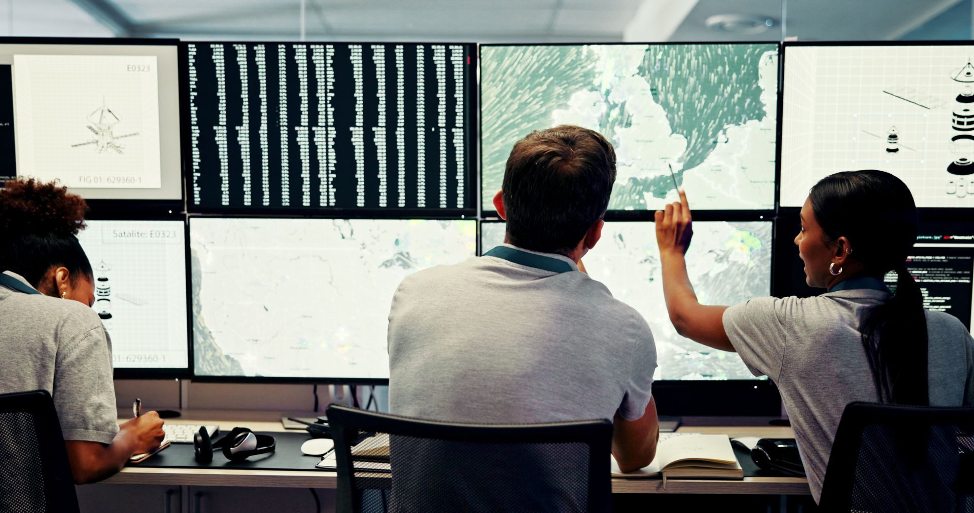
Iris integrates with everything from drones and satellite feeds, to battle management and operational management systems. Whether sharing weather models or supporting a federated mission network during a NATO exercise, Iris constantly adds value by simplifying the workflow and keeping all data secure.
As Head of Product Management, my job is to help shape the next phase of innovation at T-Kartor. A solid foundation is already there, and Iris is trusted for a reason. Now we will build on that trust and solve even more challenges for our customers in an efficient and user-friendly way. We are also bringing Iris to new domains and new countries, to allow true interoperability also between nations.
If you're looking for a geospatial platform that’s operationally proven and ready to scale, I invite you to take a closer look at Iris and reach out.


